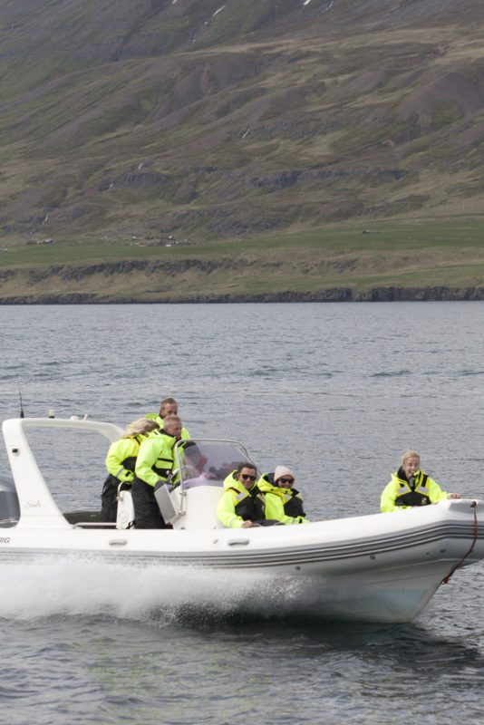
Exploring Seyðisfjörður is a family run boat trips for…
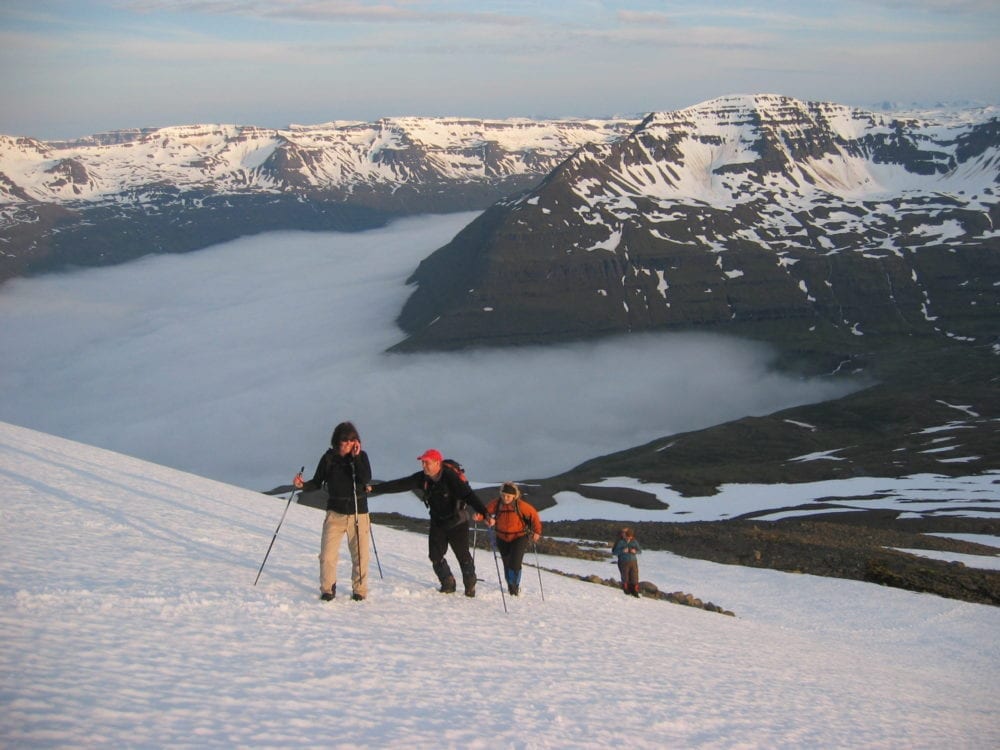
Hike: Seven peaks
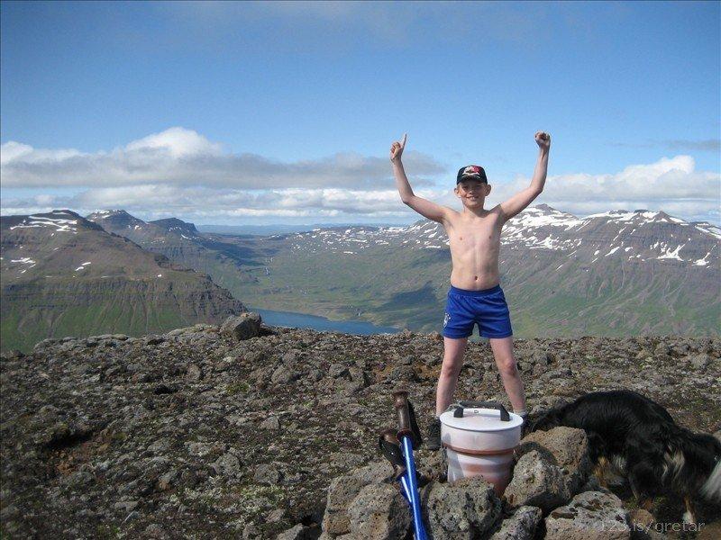
To earn the title of “Seyðisfjörður Mountain Viking”, you need to stop first at the information centre in the village and get a special map showing these seven peaks. Containers with guest books have been placed on seven peaks surrounding Seyðisfjörður. Each container also has a hole puncher, with a different pattern for every mountain. Make sure you have it with you and punch your card in the right place when you get to the top of each mountain! After climbing all seven, present the map once more at the information centre. You will be rewarded by a document recognising your achievement, while your name will also be entered in the “List of Mountain Vikings ”.
A special list of those that have climbed all seven peaks in less than 24 hours is also kept, those who manage to do that earn the title of Super Mountain Viking of Seyðisfjörður.
Hiking maps can be purchased at the tourist information centre
Please note that there are often several good ways to hike to the top, and that the route descriptions give only a rough idea of the routes most commonly used. No responsibility is taken for the GPS coordinates you find here, but if you notice any errors please let us know at [email protected].
The coordinates are in WGS84.
We ask children and teenagers to climb the mountains only in the company of adults.
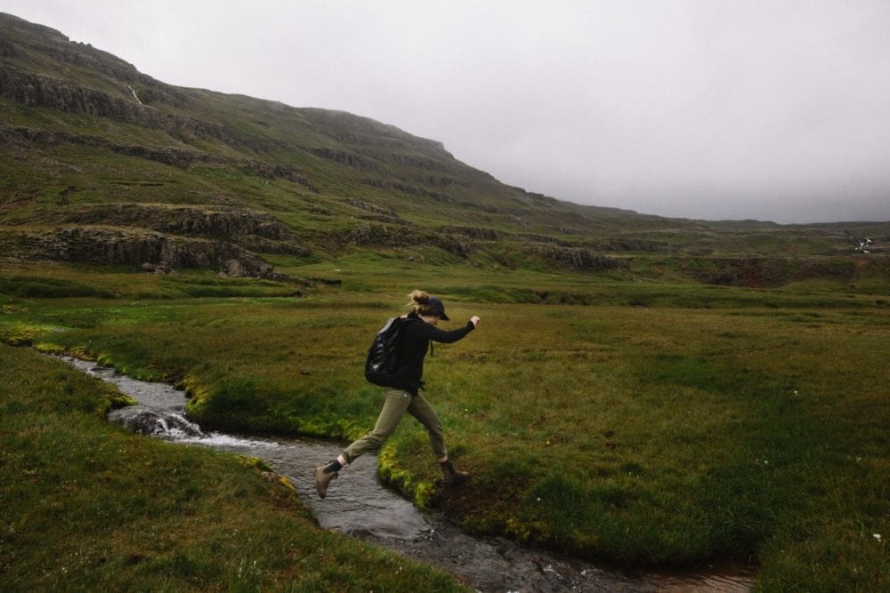
NB! Note that the weather can change very quickly, so no one should ever start a hike without checking the weather forecast and telling others about their plans.
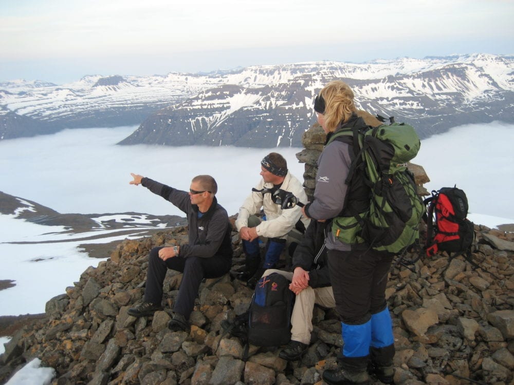
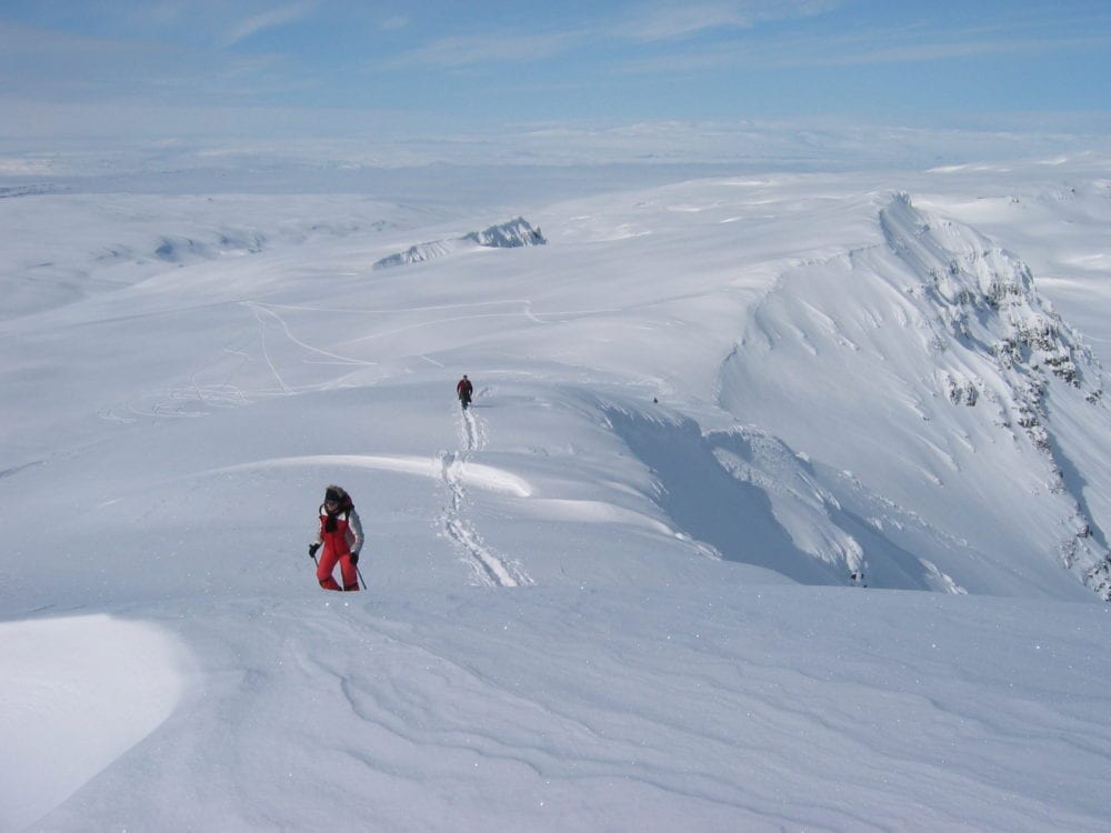
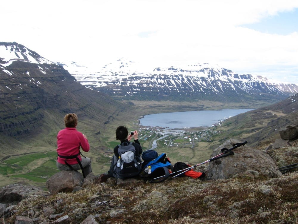
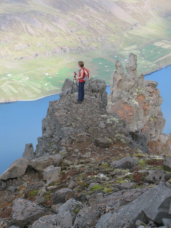
Route descriptions for the seven Seyðisfjörður Mountain Hiker peaks
1. Sandhólatindur (also named Hákarlshaus, or Shark Head) 1154 m (65°18.649-14°00.339). Seyðisfjörður’s highest mountain. It’s best to cross the Vestdalsá river via the bridge just above the waterfall (65°17.021-14°01.439), then walk up the western mountain slope. You will need to bypass the cliffs on the way up, but after that everything will be easy.
2. Bjólfur (named after the fjord’s first settler) 1085 m. Starting from the Stafdalur skiing lodge (65°14.365-14°06.725), follow the stakes up the slopes of Stafdalsfell until you can cross the Stafdalsá above its uppermost waterfall. Ascending Bjólfur is easy from the west end, using a vehicle track where fibre-optic cable was buried. Although the visitors’ book container is in the rock cairn on the summit (65°15.890-14°03.668), it pays to descend about 70 m onto the next shoulder below to enjoy the fabulous view of Seyðisfjörður.
3. Nóntindur 1065 m (65°13.209-14°02.372). This peak is approached on the west side, from Króardalsskarð pass. You can take either the pretty but quite steep route up from Fjarðarsel (65°14.685-14°01.870), following the abandoned telephone line to Mjóifjörður, or walk to the same pass from the footbridge by the monument on Neðri-Stafur (65°13.850-14°04.813). The walk to the top is easy once you have entered the pass, and you can even continue east along the mountain range to Hádegistindur and Strandartindur.
4. Hádegistindur 1125 m (65°13.568-13°58.062). You can take a short but rather steep route from Seyðisfjörður beside the Dagmálalækur stream. Go up above the ridge Grákambur and east of Gullþúfa, which is a hill below Hádegistindur, then climb the steep scree into Sörlastaðaskarð pass (65°13.774-13°58.132) and continue up the east side of Hádegistindur. Another access to the peak is out of Skógaskarð pass (65°13.342-13°59.185). Alternatively, you can begin your hike in Sörlastaðadalur valley, but that route is longer.
5. Strandartindur 1010 m (65°15.808-13°57.012). Although it’s a longer distance, one good route is up out of Sörlastaðadalur valley, starting at Sörlastaðir and leaving the valley where you can head up the south slope of the mountain. A steeper and harder route involves climbing up to Botnar and into the steep pass (65°15.072-13°57.390) south of Dagmálatindur (called Miðtindur on some maps). Once you have reached the crest, follow it east past Dagmálatindur, skirting under the line of cliffs which block you, and then head for the top of Strandartindur.
6. Snjófjallstindur (named Snjófell on some maps) 1028 m (65°14.757-13°50.121). The direct route starts from the parking area in Austdalur valley. Go up that valley and then into the Hrossadalir valleys (65°15.487-13°49.304), from which you should climb above a line of cliffs in the slope and then maintain your elevation until you can access the peak via the steep scree on its eastern slope. You can also easily walk here from Bægsli.
7. Bægsli 938 m (65°16.025-13°49.867). The easiest route is up Salteyrardalur valley from the old airstrip, making the final climb via the east slope. Another fairly good route takes you along the Austdalur and then Hrossadalir valleys, in which case you ascend the southern slope. It’s also easy to walk between Bægsli and Snjófjallstindur.
Share Back to what to do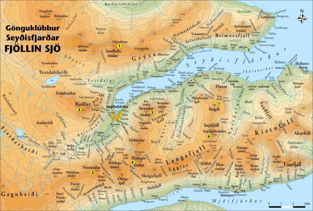
The
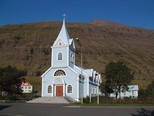
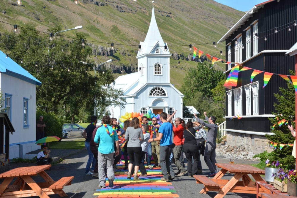
Blue Church Summer Concert Series
Summer
The Blue Church Summer Concert Series was founded in…
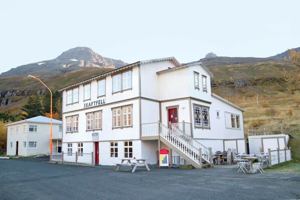
Skaftfell
Center for Visual Art
All year
An independent, non-profit organization, Skaftfell serves as the principal…
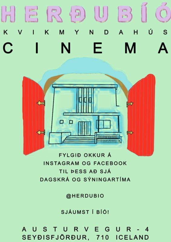
Herðubíó
cinema
All year
Established in 2020, Herðubíó Cinema is a single-screen independent…
Technical
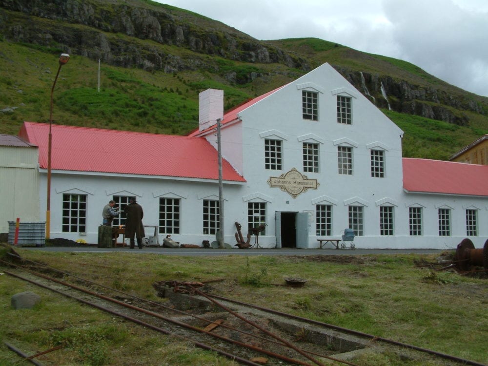
Museum of East Iceland
All year Allt árið
Openinghours May – September Mondays – Saturdays 10 –…
Fjarðarsel
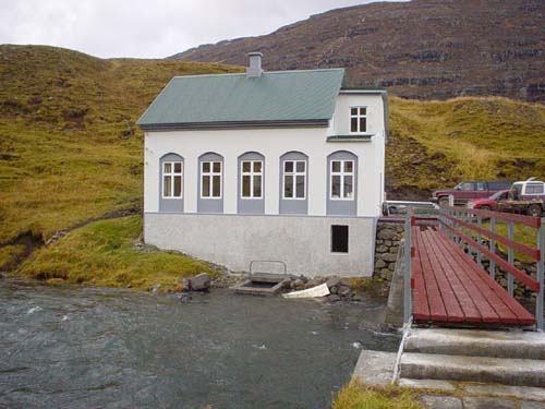
Power Plant Museum
By request
A turning point in the history of Icelandic electrification.…